Phase 1 Desk Study: Getting off on the right foot
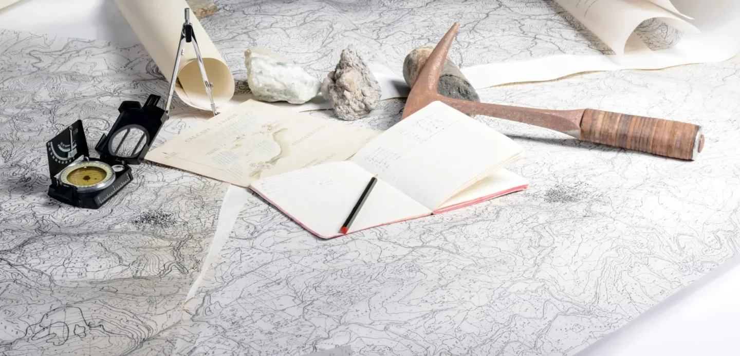
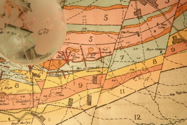
At Abbeydale Geoscience we use a variety of different information sources; historical maps, environmental search data, mining records, geological maps & our own archive investigation information to assess what the potential environmental & geotechnical risks might be to a proposed development.
With a wealth of published geological information it's important to check all of the available data sources so that the analysis and interpretation is as robust as possible.
The first step is always the most important
A comprehensive Phase 1 Desk Study helps you to understand the potential risks, and what further investigation is going to be required to refine & further quantify them as part of a contaminated land assessment or geotechnical Ground Investigation.
Scoping what further investigation is necessary based on the findings of the Desk Study makes any subsequent Ground Investigation more cost-effective and targeted to the historical setting of the site & surrounding area, saving a lot of resources that may otherwise be wasted if proceeding straight to an intrusive Ground Investigation.
To make Phase 1 Desk Studies as cost-effective as possible we regularly look at both the geotechnical & environmental aspects of a proposed development in the same report
We do this because it is especially useful when the Phase 1 Desk Study is required for planning purposes. A comprehensive Desk Study looks at what has been on the site previously and what the potential is for any resultant contamination. It guides the rest of the Ground Investigation process as part of a contaminated land assessment or geotechnical investigation.
Casting A Keen Eye
A Phase 1 Desk Study includes a site walkover survey which allows us to visually assesses the site and surrounding area for any features that might require further investigation or assessment, or have the potential to impact future receptors who will use the site, or the wider environment.
Bringing Everything Together
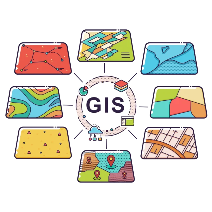
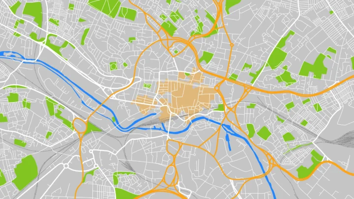
Using computer software like Geographical Information Systems (GIS) allows us to overlay & analyse multiple spatial datasets in one place, maximising the effectiveness of our assessments.
Making Geocience Data Make Sense
Wherever possible we prefer to use maps, plans, sections & charts to help visualise the findings of the Phase 1 Desk Study report, making it easier to digest and understand for our clients.
