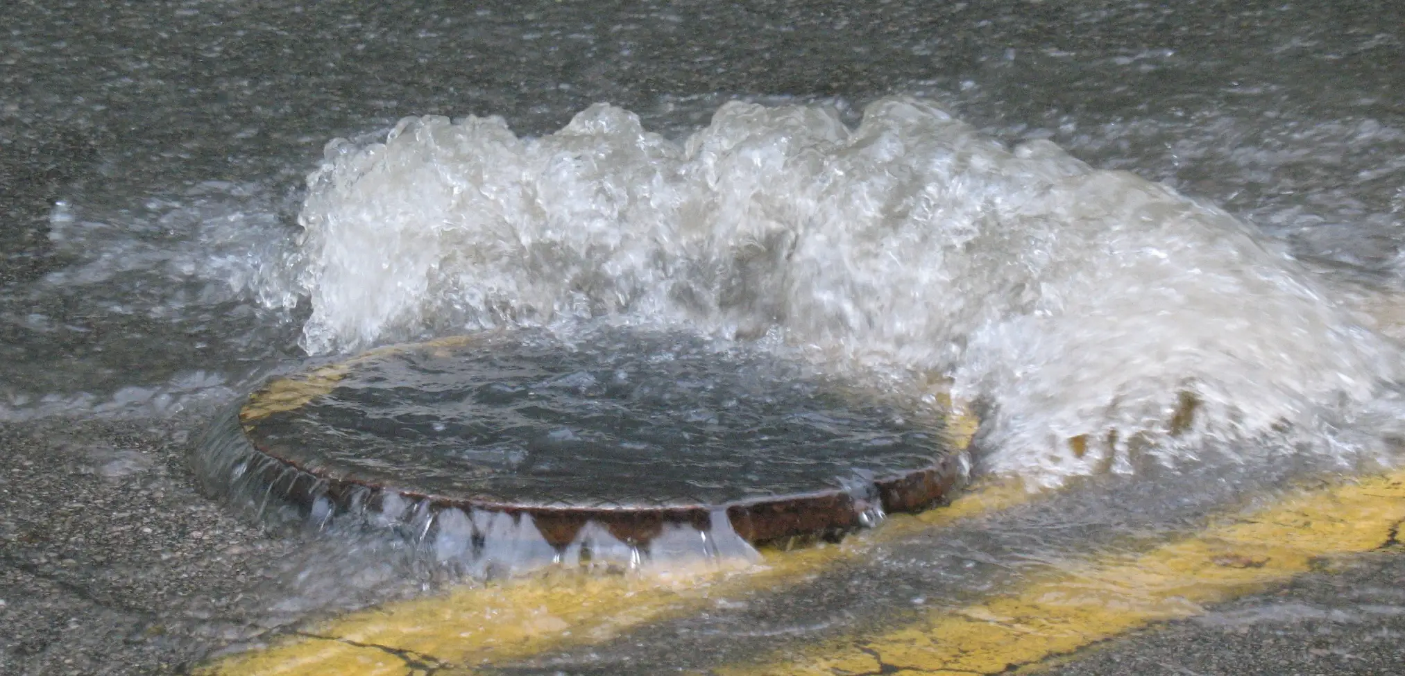
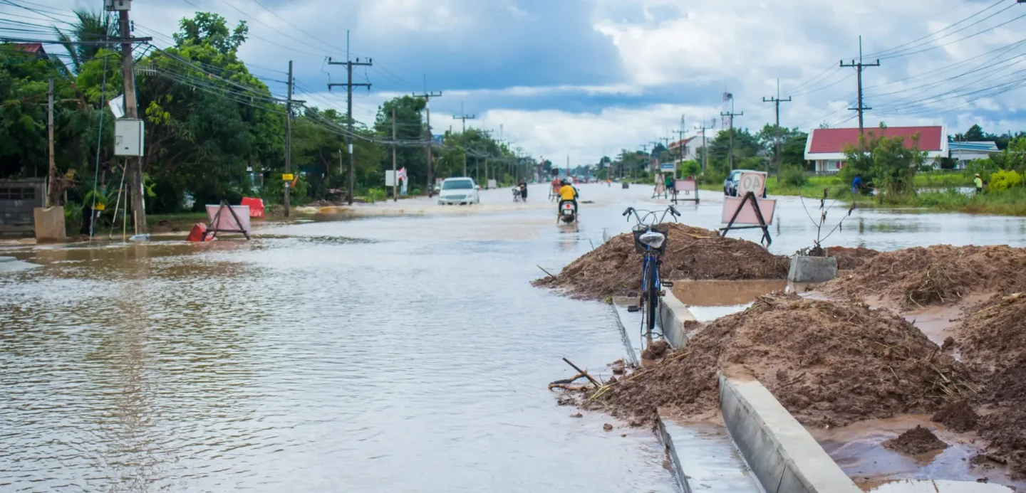
The effects of flooding can be devastating!
At Abbeydale Geoscience we will help determine whether your site is at risk of flooding and what mitigation, flood resistance or flood resilience measures can be put in place to help protect it against the impacts of flooding.
You’ll need a Flood Risk Assessment if you have a site within an area designated as Flood Zone 2 or Flood Zone 3, or a parcel of land over 1 hectare in area in Flood Zone 1.
We provide Flood Risk Assessments that are in accordance with National Planning Policy Framework (NPPF) guidance and look at multiple different potential sources of flooding and how these might affect the site.

Robust And Honest Flood Risk Assessment Reports
At Abbeydale Geoscience we like to make sure that we provide a thorough assessment of all of the available information, that’s why we carry out a site walkover as part of our Flood Risk Assessments & obtain historical maps of the site & surrounding area.
It’s not just flood level information that’s important when looking at the potential for flooding at a site, it’s a culmination of the hydrology, hydrogeology, geology, topography and history that all come together.

Moving Forward Together
We like to engage with regulatory bodies such as the Environment Agency at any early stage. Having a meeting can sometimes be very effective at allowing us to discuss potential flooding issues at a site and find pragmatic solutions that can be taken forward to design stage.
Working With You To Mitigate Flood Risks
As part of the process we work with our clients to see if there is any way of moving development to areas of the site where there might be a lesser chance of flooding, or tweaking the proposed layout to put less vulnerable uses in areas of highest flood potential.
Sometimes it’s the smallest things that make the biggest difference!

